Boilerplate, quick facts, downloadable brand assets, and recent aerial survey imagery from Oakland
Boilerplate (short): Aerbits is a Bay Area company that uses drones and AI to detect, locate, and document illegal dumping for city public works departments. Its aerial detection system replaces slow, inequitable complaint-driven reporting with a systematic survey of every street, delivering verification evidence directly into a city's existing work-order queue.
Boilerplate (long): Aerbits builds AI-powered aerial detection systems for municipal infrastructure and environmental monitoring. The company's drones fly routine, repeatable survey routes, and AI models identify illegal dumping, large-item piles, and encampment debris from the imagery they capture. Each detection is geo-located to within a few meters and attached as evidence to a work order, so crews arrive at the right place with the right equipment. Aerbits is used in the San Francisco Bayview pilot and in Oakland's public works illegal-dumping program.
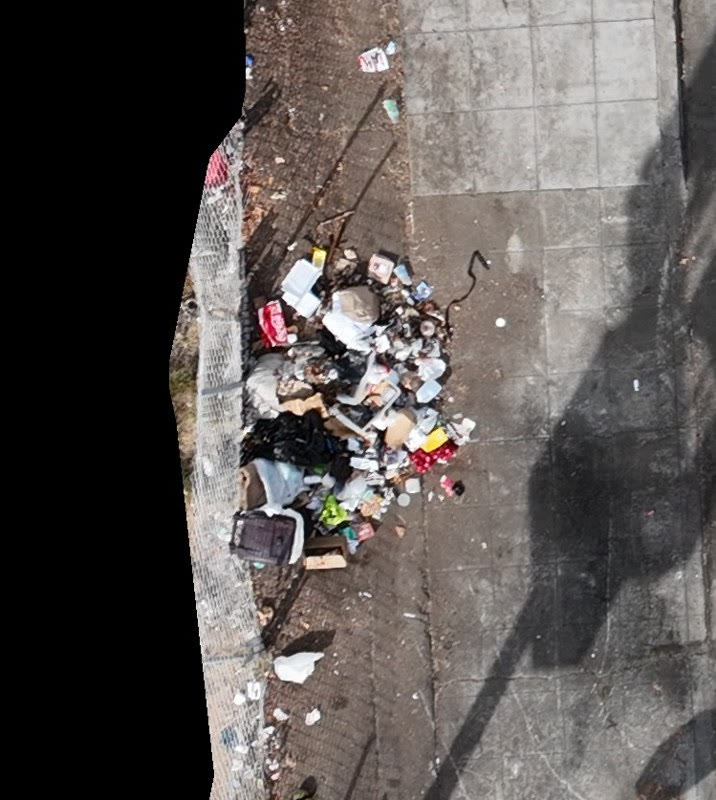
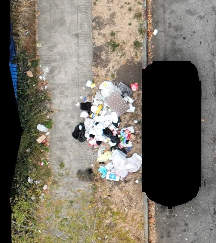
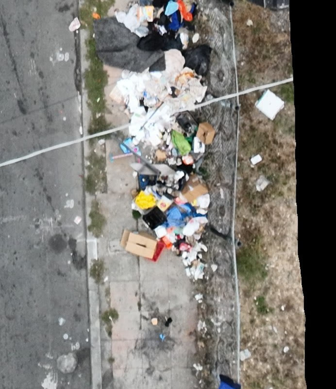
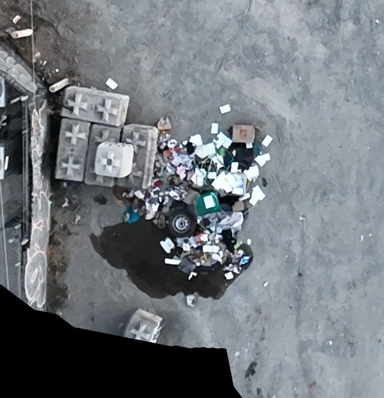
Unretouched frames from Aerbits survey flights over Oakland. Each frame shows an illegal dumping site as the detection system saw it. Download and publish freely with credit to Aerbits.
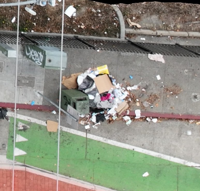
Blacked-out regions are privacy redactions applied in-camera to incidental people, vehicles, and private property. Imagery is provided at survey resolution; higher-resolution or annotated versions are available on request.
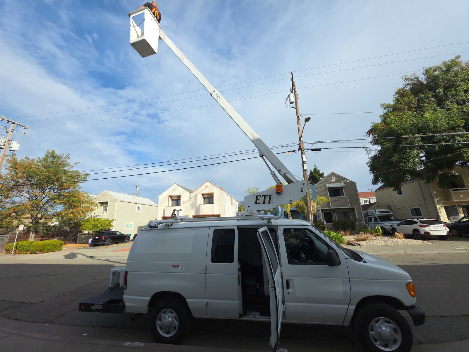
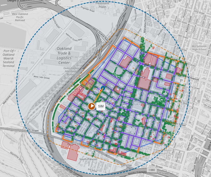
How the survey gets flown: Aerbits aircraft over city corridors, the field operations vehicle used to prepare and stage flights, and an example coverage map showing the street-by-street survey footprint across West Oakland. Download and publish freely with credit to Aerbits.
Coverage maps illustrate the survey footprint (streets flown and detection density) and are shared as illustrative of methodology, not as an operational record. Raw flight logs and annotated coverages are available on request.
For interviews, imagery requests, or speaking engagements, get in touch.