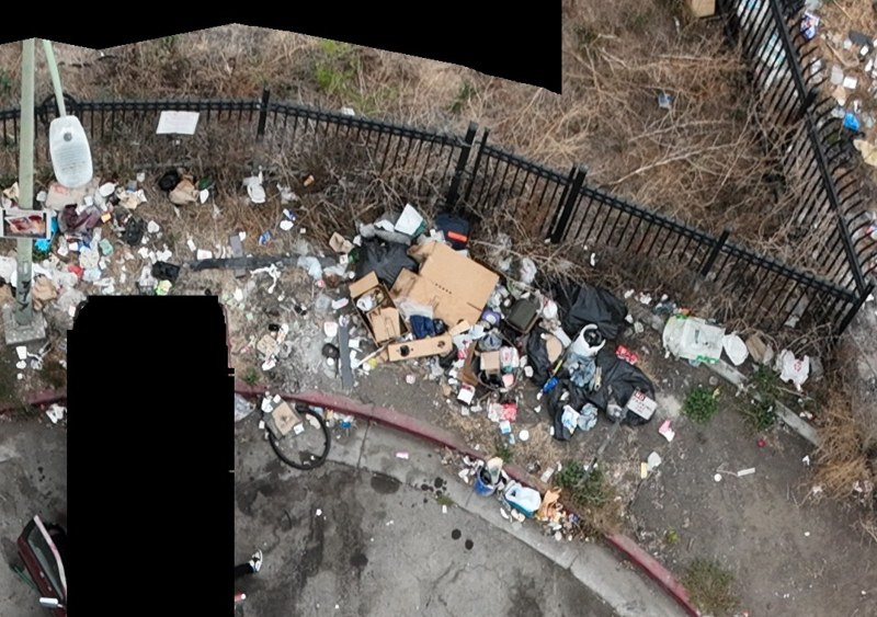
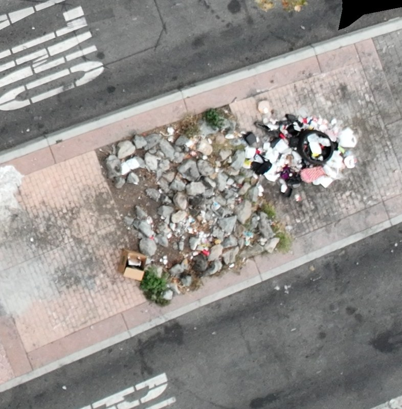
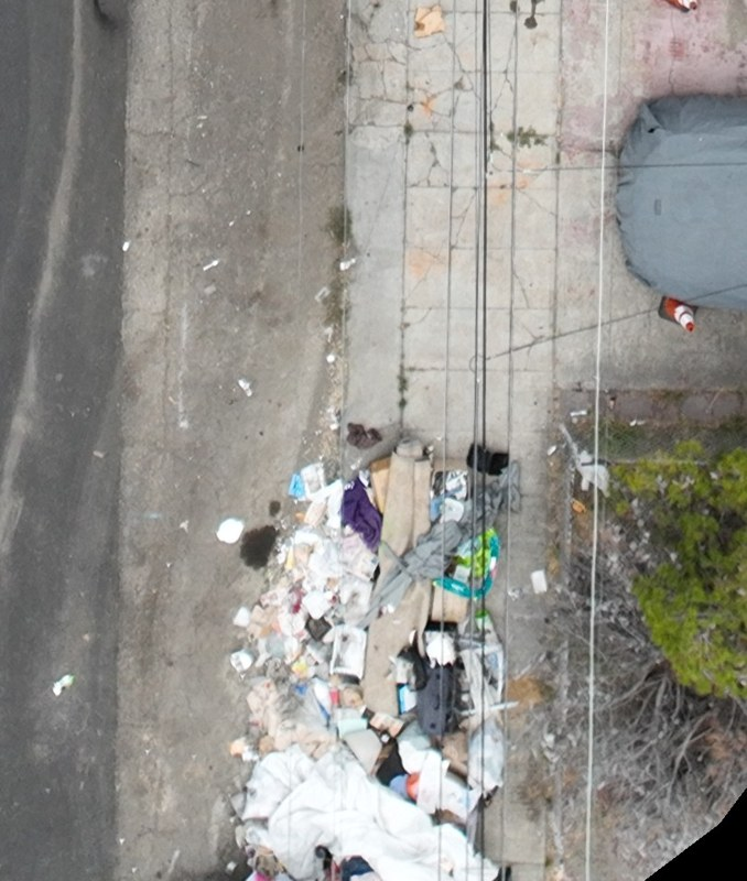
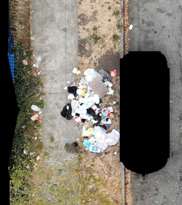
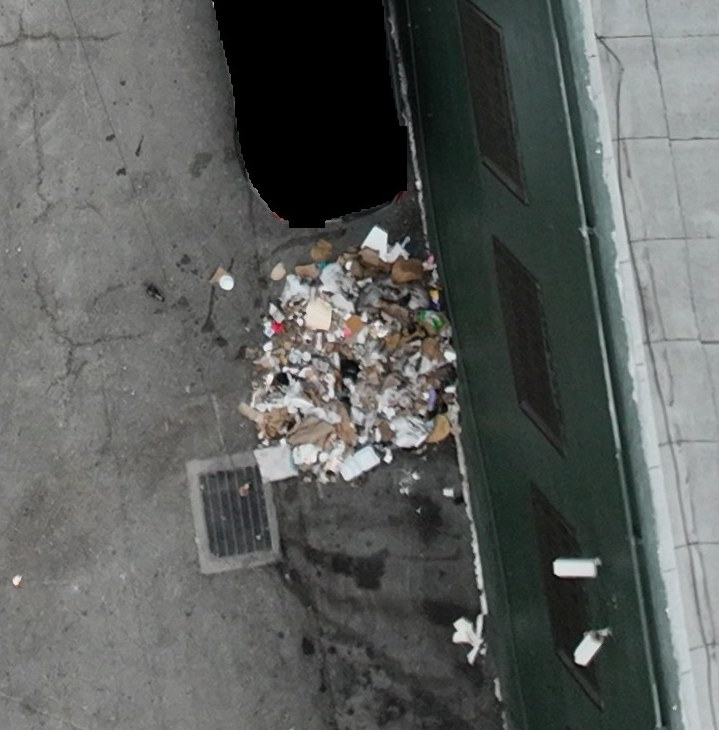
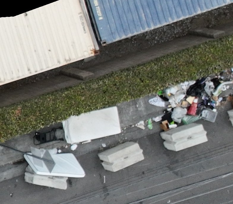
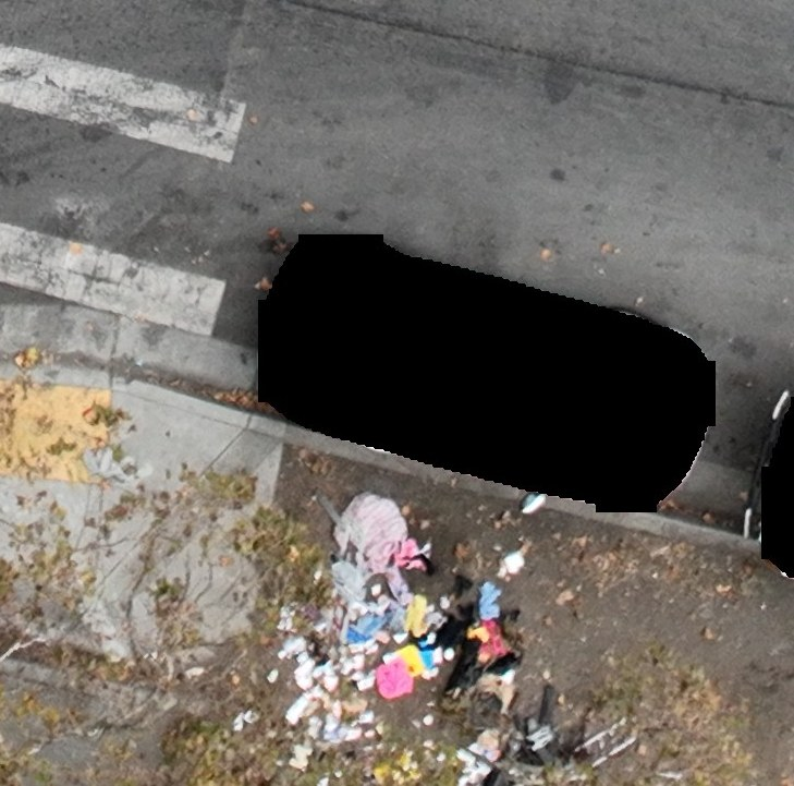
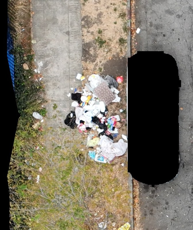
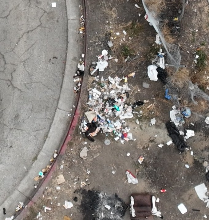
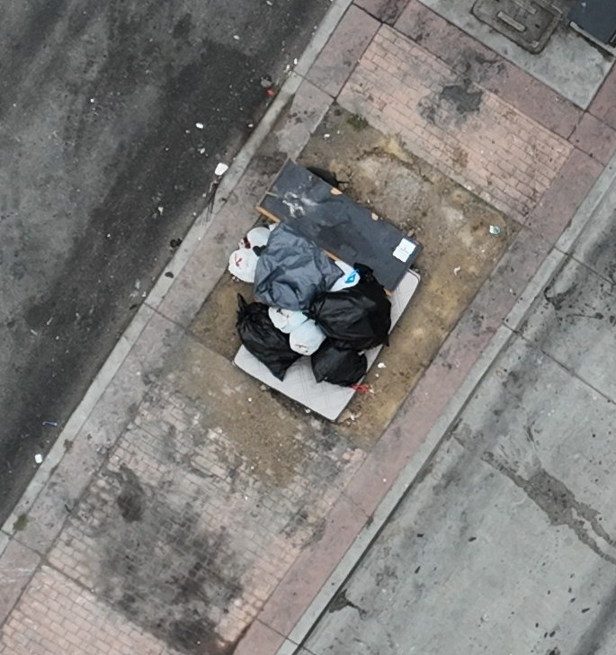
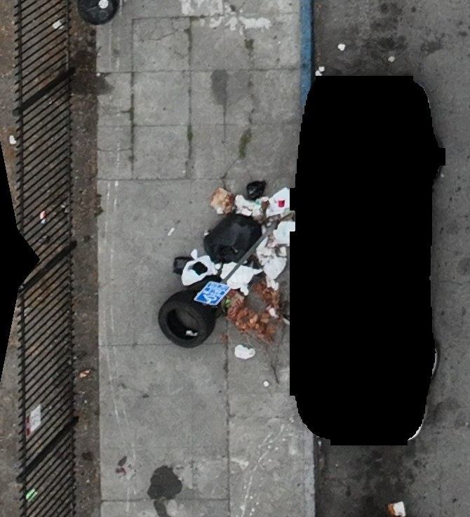
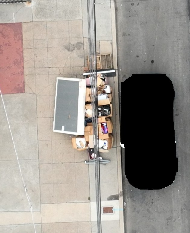
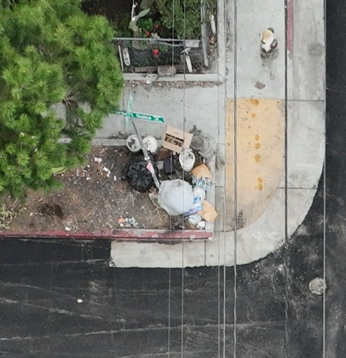
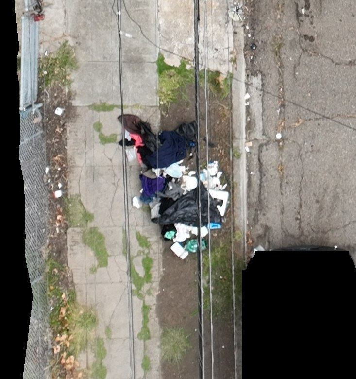
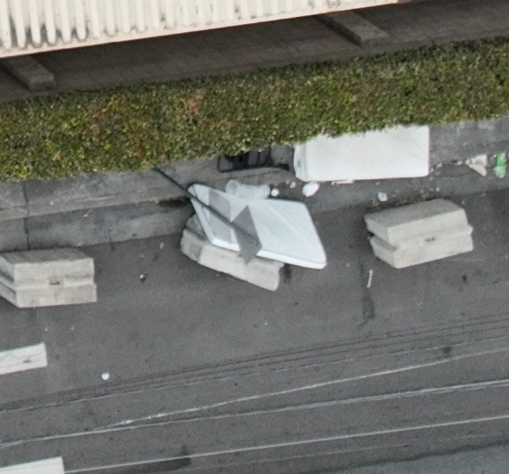
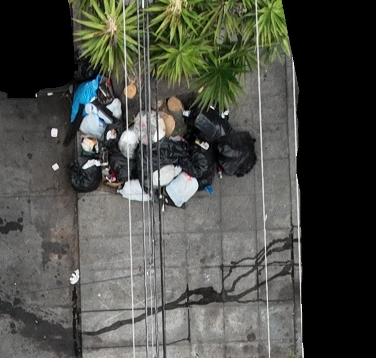
In a single mission in East Oakland, Aerbits documented 49 cleanup locations and provided the images and locations to Oakland Public Works. The photos below show a few of the larger piles we found: bulky discarded items, bags, rubble, and loose waste along sidewalks, curbs, and street corners.
Oakland Public Works is actively mobilizing to clean up these piles. The locations are now on crews’ cleanup lists as the department puts its new heavy equipment, Lightning Loaders, and increased capacity to work.
A current picture of what needs picking up
Many of these locations did not have accurate or recent 311 reports. Fresh aerial imagery helps fill that gap: it shows the waste that is visible now and gives crews a location to work from.
Resident reports remain an important starting point. By pairing them with a current view of the street—and identifying piles that are missing from the current reporting picture—we can give Public Works a more complete cleanup list.
All 49 locations, in one map
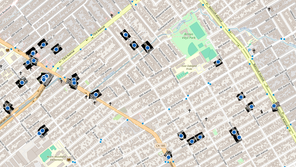
The map brings the locations together. In the Public Works viewer, crews can select a pile, inspect its cropped photo, copy its nearby address, and review drone imagery around the site. That puts the visual evidence and location in the same place when planning a pickup.
A few of the larger piles from this mission
Select any image to enlarge it. These 16 views include alternate views of some locations; they are a sample of the 49 mapped sites. Blacked-out areas are privacy redactions retained in the published imagery.
From detection to cleanup
The next step belongs to the crews doing the work on the ground. Oakland Public Works has these images and locations and is mobilizing its equipment and staff to pick up the piles.
These are early detection and handoff results, not a count of completed cleanups. We look forward to documenting what changes as the pilot continues and crews clear the sites.